Travel Guide of Ngongotaha in New Zealand by Influencers and Travelers
Ngongotahā is a town on the western shores of Lake Rotorua in New Zealand's North Island. It is 10 kilometers northwest of Rotorua city, and is part of the Rotorua metropolitan area. Its population was 4,107 in the 2013 census. Its name is derived from a legend of Ihenga, the famous Māori explorer.
The Best Things to Do and Visit in Ngongotaha
TRAVELERS TOP 10 :
- Rotorua
- Government Gardens
- Rafting in Rotorua
- Pohutu Geyser
- Lake Tikitapu (Blue Lake)
- Kayaking in Rotorua
- Lake Rotoiti
- Lake Rotorua
- Jet Boating in Rotorua
- Waimangu
1 - Rotorua
Rotorua is a city on the southern shores of Lake Rotorua from which the city takes its name, located in the Bay of Plenty Region of New Zealand's North Island.
Learn more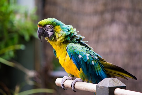
2 - Government Gardens
7 km away
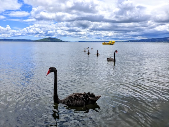
The Government Gardens is a public park, partly laid out as gardens, located beside Lake Rotorua in central Rotorua, Bay of Plenty, North Island, New Zealand.
View on Google Maps Book this experience
3 - Rafting in Rotorua
RAFT THE HIGHEST COMMERCIALLY RAFTED WATERFALL IN THE WORLD! The Kaituna River is Rotorua Raftings playground, with an all kiwi crew and home to not just one but three awesome waterfalls, including the highest rafted waterfall in the world, Tutea Fal...
Book this experience
4 - Pohutu Geyser
10 km away
Pōhutu Geyser is a geyser in the Whakarewarewa Thermal Valley, Rotorua, in the North Island of New Zealand. The geyser is the largest in the southern hemisphere and among the most active in the area, erupting up to twenty times per day at heights of up to 30 m.
View on Google Maps Book this experience
5 - Lake Tikitapu (Blue Lake)
17 km away
Lake Tikitapu or Blue Lake is the smallest of four small lakes lying between Lake Rotorua and Lake Tarawera in the Bay of Plenty region of New Zealand's North Island. The other three are Lake Rotokakahi, Lake Okareka, and Lake Okataina.
Learn more Book this experience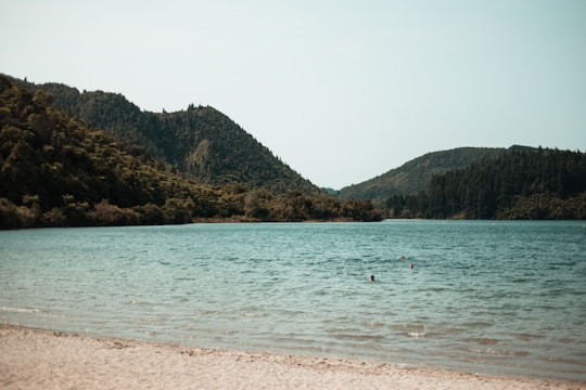

6 - Kayaking in Rotorua
13 km away
This guided Kayak trip to the spectacular Manupirua Springs Hot Pools will take you across the scenic Lake Rotoiti before you reach the amazing pools only accessible by boat. Situated on the lake's edge, you will find a range of hot pools of var...
Book this experience
7 - Lake Rotoiti
19 km away
Lake Rotoiti is a lake in the Bay of Plenty region of New Zealand. It is the northwesternmost in a chain of lakes formed within the Okataina Caldera.
View on Google Maps Book this experience
8 - Lake Rotorua
24 km away
Lake Tarawera is the largest of a series of lakes which surround the volcano Mount Tarawera in the North Island of New Zealand. Like the mountain, it lies within the Okataina caldera. It is located 18 kilometres to the east of Rotorua, and beneath the peaks of the Tarawera massif i.e. Wahanga, Ruawahia, Tarawera and Koa. The lake's surface area is 39 square kilometres.
Learn more Book this experience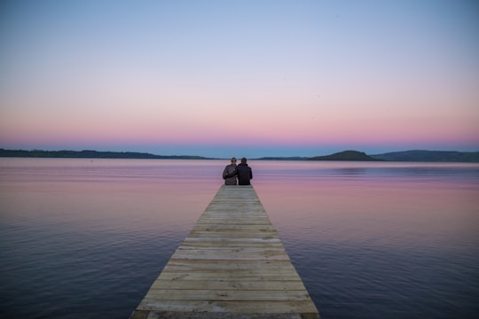

9 - Jet Boating in Rotorua
Feel the rush of adrenaline as our high-powered engines blast you over the water up to 85 km/h, and our experienced drivers throw the boats into 360° spins. Visit iconic landmarks around Lake Rotorua, and learn the history of the area, the people...
Book this experience
10 - Waimangu
28 km away
The Waimangu Geyser, located near Rotorua in New Zealand, was for a time the most powerful geyser in the world. The geyser was first seen erupting in late 1900.
Learn more Book this experience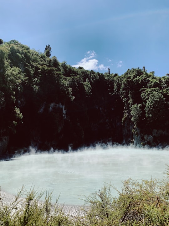

11 - Mount Tarawera
30 km away
Mount Tarawera is a volcano on the North Island of New Zealand within the older but volcanically productive Ōkataina Caldera. Located 24 kilometres southeast of Rotorua, it consists of a series of rhyolitic lava domes that were fissured down the middle by an explosive basaltic eruption in 1886.
View on Google Maps Book this experience
12 - Hydrospeed in Rotorua
13 km away
This activity is not for the faint hearted and is a fantastic personal challenge. This physically difficult activity is for strong and fit swimmers only, however you will be rewarded by feeling and seeing the river from water level! Embark on a 'at o...
Book this experience
13 - Kaimai
38 km away
The Kaimai Range is a mountain range in the North Island of New Zealand. It is part of a series of ranges, with the Coromandel Range to the north and the Mamaku Ranges to the south.
Learn more Book this experience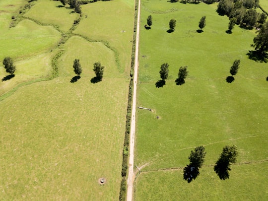
14 - Papamoa Beach
47 km away
Papamoa or Papamoa Beach is a suburb of Tauranga, located about 11 kilometres from the city centre. It is the largest residential suburb in Tauranga, having a population of 20,091 at the 2013 census.
Learn more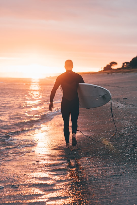
15 - Tauranga
48 km away
Tauranga is a coastal metropolitan city in the Bay of Plenty region and the fifth most populous city of New Zealand, with an urban population of 155,200, or roughly 3% of the national population.
Learn more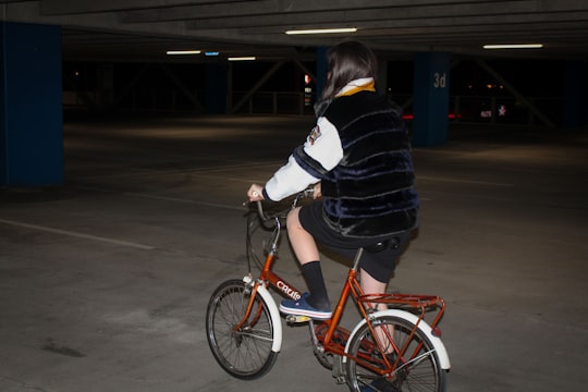
16 - Mount Maunganui
50 km away
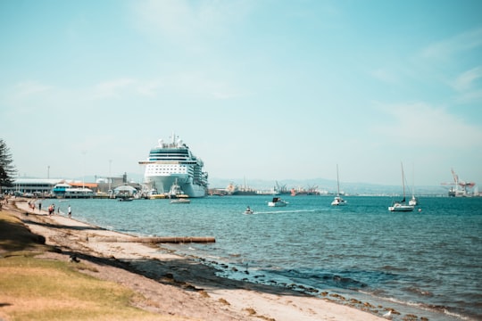
Mount Maunganui, or Mauao, commonly known by locals as The Mount, is an extinct volcanic cone at the end of a peninsula and the town of Mount Maunganui, by the eastern entrance to the Tauranga Harbour in New Zealand.
Learn more Book this experience
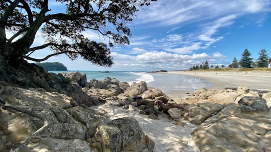
Disover the best Instagram Spots around Ngongotaha here
Book Tours and Activities in Ngongotaha
Discover the best tours and activities around Ngongotaha, New Zealand and book your travel experience today with our booking partners
Pictures and Stories of Ngongotaha from Influencers
2 pictures of Ngongotaha from Koon Chakhatrakan, , and other travelers
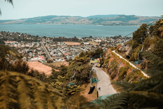
- Views or Lake Rotorua, New Zealand from the top of Skyline Rotorua. ...click to read more
- Experienced by @Koon Chakhatrakan | ©Unsplash
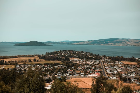
- Views or Lake Rotorua, New Zealand from the top of Skyline Rotorua. ...click to read more
- Experienced by @Koon Chakhatrakan | ©Unsplash
Plan your trip in Ngongotaha with AI 🤖 🗺
Roadtrips.ai is a AI powered trip planner that you can use to generate a customized trip itinerary for any destination in New Zealand in just one clickJust write your activities preferences, budget and number of days travelling and our artificial intelligence will do the rest for you
👉 Use the AI Trip Planner
Why should you visit Ngongotaha ?
Travel to Ngongotaha if you like:
🏖️ Bay 🏘️ TownWhere to Stay in Ngongotaha
Discover the best hotels around Ngongotaha, New Zealand and book your stay today with our booking partner booking.com
More Travel spots to explore around Ngongotaha
Click on the pictures to learn more about the places and to get directions
Discover more travel spots to explore around Ngongotaha
Travel map of Ngongotaha
Explore popular touristic places around Ngongotaha